New sources of wind information for NWP
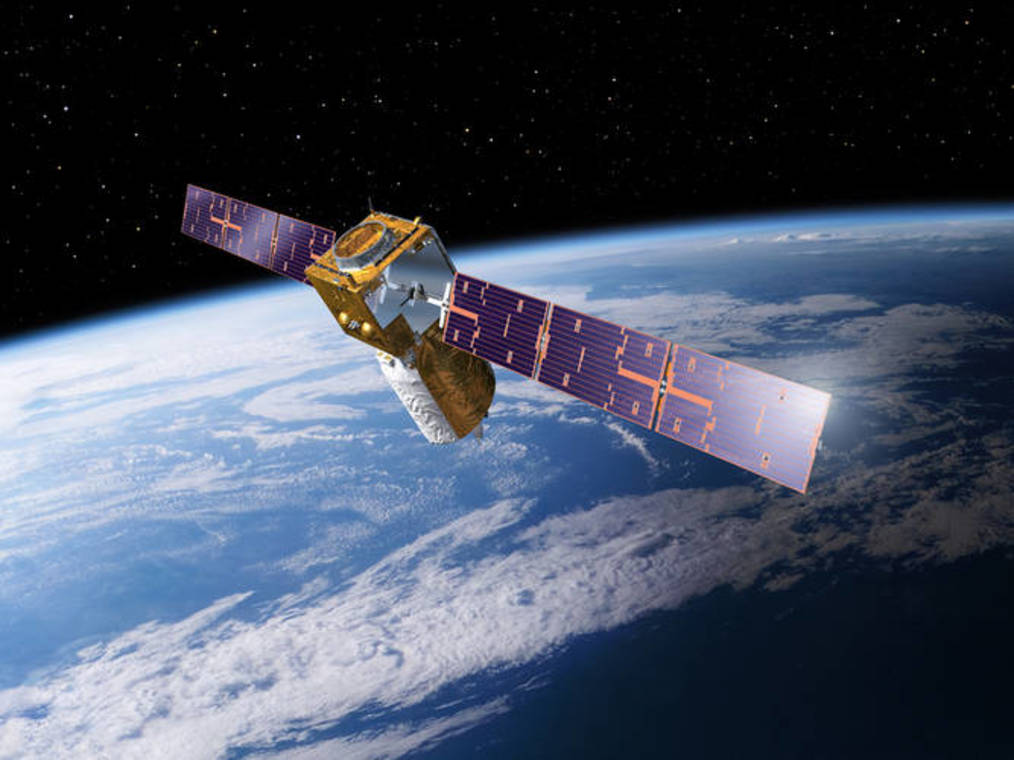
Aeolus was recently launched by the European Space Agency (ESA) on 22 August 2018. Aeolus is an ESA Core Explorer mission for atmospheric dynamics. It is a unique mission in that it provides wind profiles from space for the first time in history. According to the World Meteorological Organisation (WMO), lack of wind profile information is the biggest gap in the global observing system (GOS).
Aeolus wind profiles will improve the quality of weather forecasts and advance our understanding of atmospheric dynamics and climate processes.
The ESA Earth-Explorer mission ADM-Aeolus utilises an active High Spectral Resolution Doppler Wind Lidar (DWL) to retrieve wind observations from both atmospheric molecules, aerosols and cloud particles. In addition, ADM-Aeolus will provide information on cloud top heights, the vertical distribution of clouds and aerosol properties.
It is widely recognised that a new global atmospheric observing system, such as Aeolus, will be beneficial for operational weather forecasting. The provision of detailed wind profiles will also benefit scientists involved with climate research, allowing for greater accuracy in the numerical modeling of tropical regions in particular.
KNMI and the European Centre for Medium-Range Weather Forecasts (ECMWF) are responsible for the ground processing level 2B (L2B) wind retrieval software of Aeolus data. Dissemination of the wind product is the responsibility of ECMWF. Besides winds the distribution of aerosols and clouds along the Aeolus satellite track is obtained. The responsibility of this secondary mission product is at Meteo France.
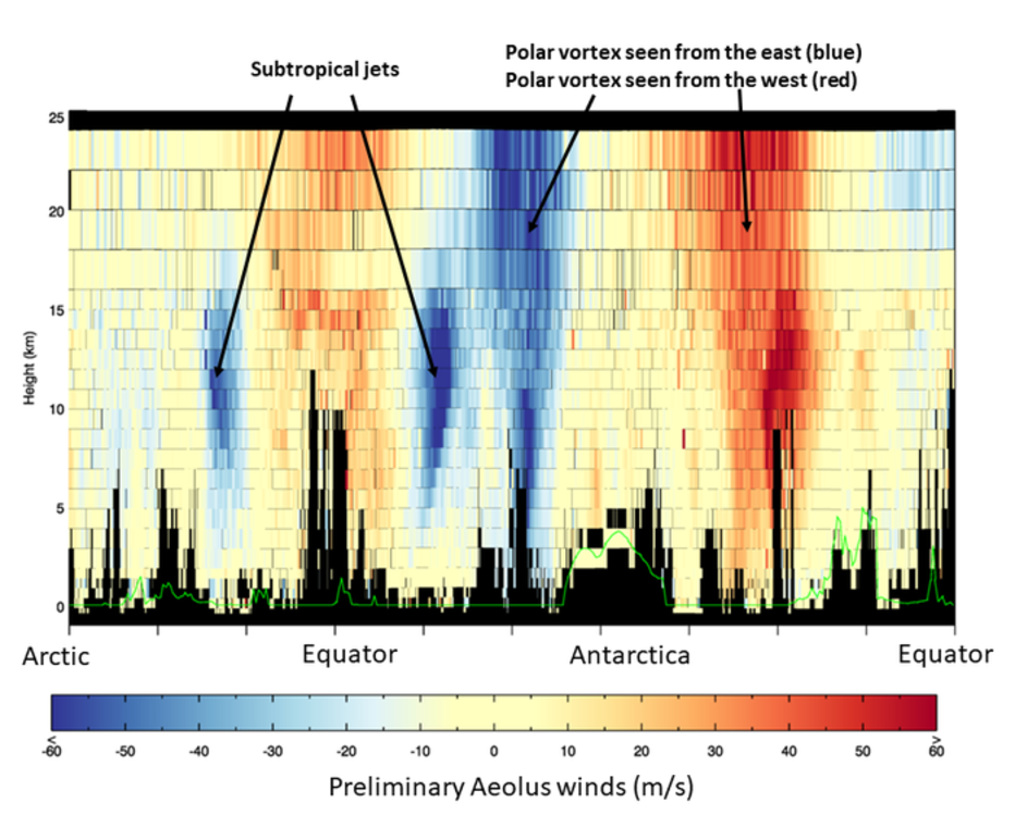
The second figure shows L2B molecular (Rayleigh) winds from early in the mission on 12 September 2018. These data are from three quarters of one orbit around Earth. The image shows large-scale easterly and westerly winds between Earth’s surface and the lower stratosphere, including jet streams. As the satellite orbits from the Arctic towards the Antarctic, it senses, for example, strong westerly winds called subtropical jets (shown in blue) each side of the equator. Orbiting further towards the Antarctic, Aeolus senses the strong westerly winds (shown in blue left of Antarctica and in red right of Antarctica) circling the Antarctic continent in the troposphere and stratosphere (stratospheric polar vortex). The overall direction of the wind is the same along the polar vortex, but because the Aeolus wind product is related to the viewing direction of the satellite, the colour changes from blue to red as the satellite passes the Antarctic continent.
KNMI has been actively involved in several projects for mission support in preparation for launch and also after launch. These include
In addition we participate actively in an international network for collaborative numerical weather prediction observing system impact experiments, the so-called joint-OSSE.
A list of peer-reviewed papers related to the Aeolus mission published by KNMI can be found here.
23/8/2018: EU observer: European wind satellite in orbit: The launch of a life's work
23/8/2018: KNMI nieuwsbericht kort na lancering (Dutch)
22/8/2018: Revolutionaire weersatelliet de ruimte in: Star Wars voor meteorologen (Dutch)
22/8/2018: Live radio interview kort na lancering in “Met het oog op Morgen” (Dutch)
17/8/2018: Nature news article: World’s first wind-mapping satellite set to launch