A new emission inventory and ensemble forecast for East China.
Emission estimates based on satellite observations.
Near real-time satellite data products of the atmospheric composition.
Satellite Application Facility on Atmospheric Composition Monitoring
Calibration/Validation of SCIAMACHY data products
The Support to Aviation Control Service (SACS) aims at supporting the Volcanic Ash Advisory Centers. This is achieved by delivering NEAR REAL-TIME data of SO2 and volcanic ash derived from satellite measurements. The SACS multi-sensors system also include
The European Natural Airborne Disaster Information and Coordination System for Aviation, a H2020 project. Towards closing the significant gap in European-wide data and information availability during airborne hazards.
Multi-sensor synergeric algorithm development for the Earth Clouds and Radaition Explorer mission.
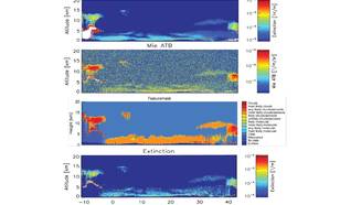
Operational lidar Algorithms for The Earth Clouds and Aerosol Radiation Explorer mission.
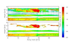
Future advanced muli-wavelength space-borne lidar feasability study/
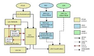
Lidar algorithms for the Earth Clouds and Radiation Explorer mission (EarthCARE)
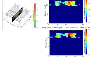
Preliminary development for EarthCARE Level-2 algorithms.
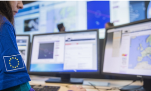
A flexible multi-hazard service supporting the Emergency Response Coordination Center of the European Union. Provides early warnings, comprehensive 24/7 reporting, and - on request - analyses by expert panels.
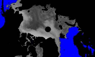
A consistent record of sea ice extents and ice age from scatterometer data from 1991 to the present.

Ice clouds and aviation impacts
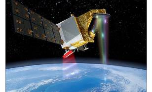
International cooperative wind retrievals.
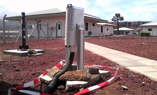
The ASCension Island Initiative (ASCII) is a project to study cloud and smoke interactions over the southeast Atlantic Ocean.
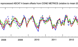
A wind scatterometer is a radar instrument mounted on a weather or research satellite that sends pulses of energy (centimeter radio waves) to the sea surface and then measures the energy scattered by centimeter waves on the sea surface.
Simulated data from the Sentinel-4 and Sentinel-5 missions are used to determine (tropospheric) ozone and UV dosimetry.
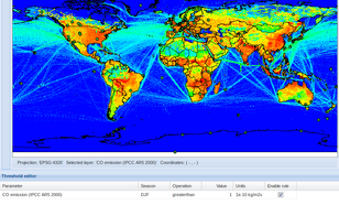
GEOMON - Select Validation Sites
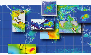
SCIAMACHY -SCanning Imaging Absorption spectroMeter for Atmospheric CHartographY